Log in
All resources
Create a design
11,660 Free Images of Old Map
atlante veneto (raremaps.com) volume 2
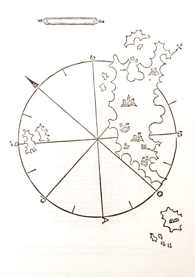
old maps of islands of the aegean sea
bartolommeo dalli sonetti
maps made in the 17th century
old maps of the peloponnese
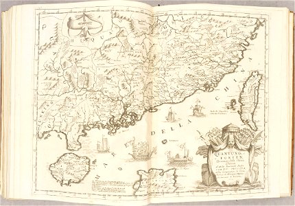
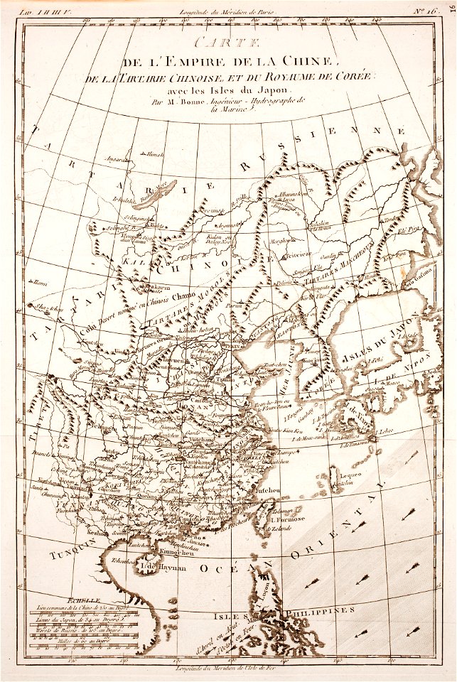
old maps of china
maps by pieter schenk (i)
johannes vingboons
old maps of amsterdam
evert maaskamp
maps made in the 17th century
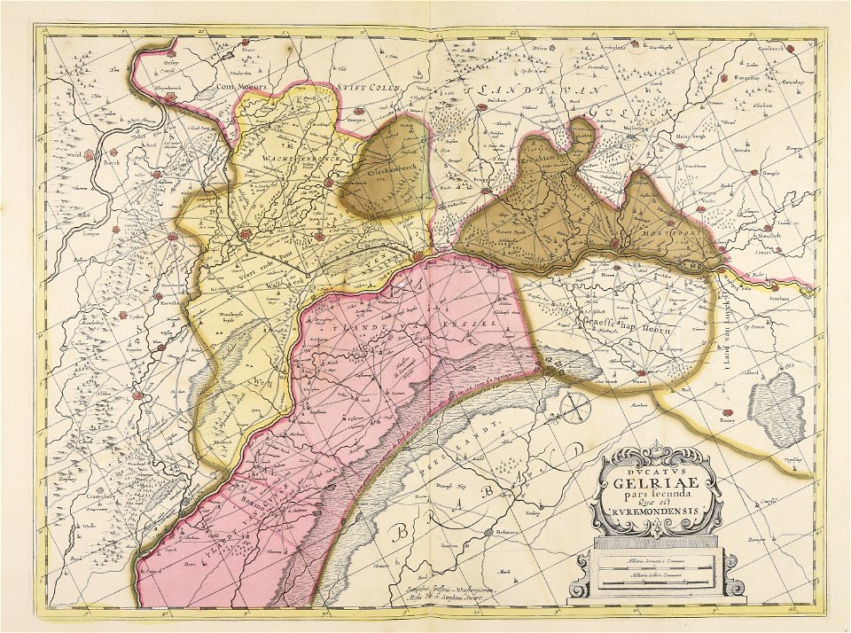
old maps of gelderland
maps made in the 17th century
jan janssonius
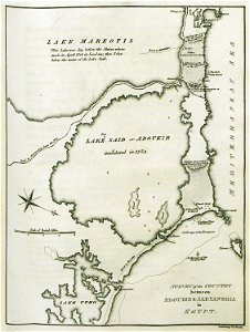
old maps of alexandria
asia and africa
ancient
america
old maps of the british isles
maps made in the 18th century
fonds ancely - bibliothèque municipale de toulouse - maps
victor levasseur - maps of france
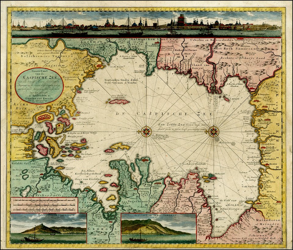
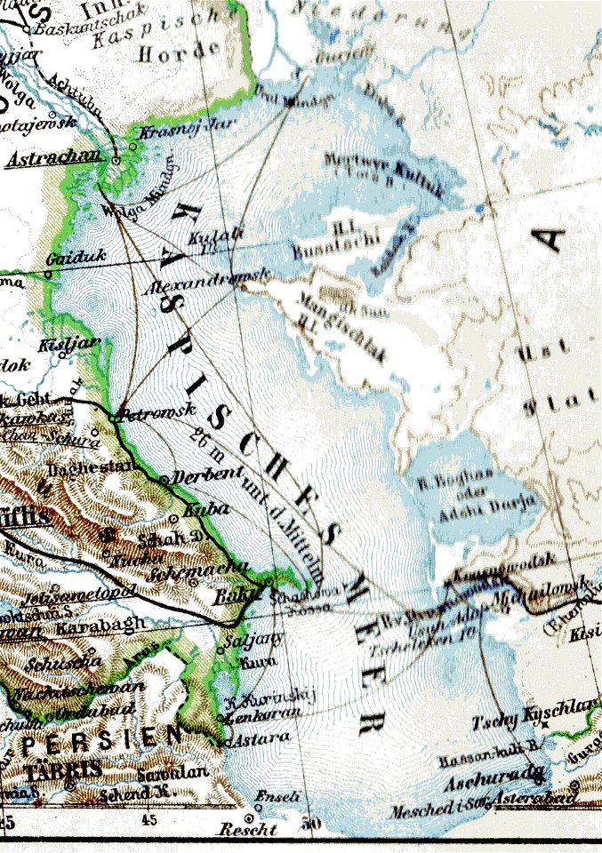
old maps of the caspian sea
1720 maps of georgia
new market square in rzeszów
maps of 18th-century europe
history of mansfeld land
gerard valck
braun & hogenberg
frans hogenberg
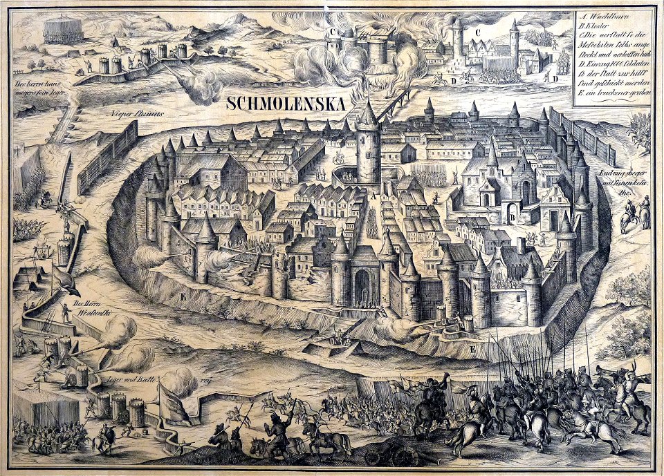
old maps of smolensk
willem hondius
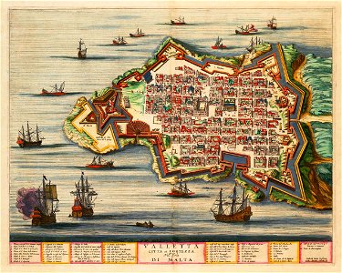
old maps of valletta
joan blaeu
itinerarium hierosolymitanum et syriacum..., 1619
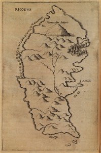
old maps of rhodes
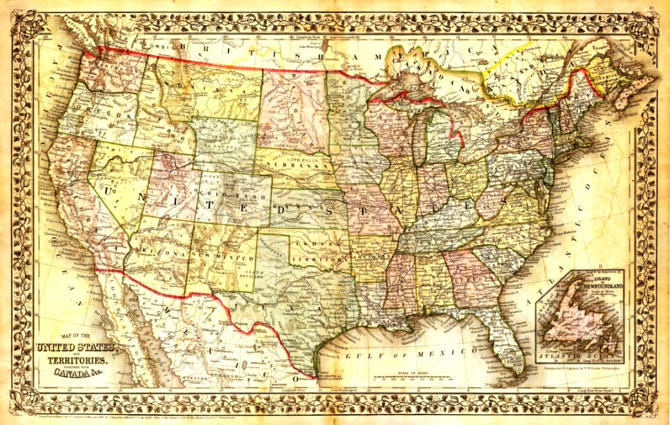
old maps of new york (state)
old maps of the strait of magellan
voyage au pôle sud
atlante veneto (raremaps.com) volume 1
old maps of the danube
old maps of islands of the aegean sea
bartolommeo dalli sonetti
old maps of islands of the aegean sea
bartolommeo dalli sonetti
old maps of islands of the aegean sea
bartolommeo dalli sonetti
old maps of islands of the aegean sea
bartolommeo dalli sonetti
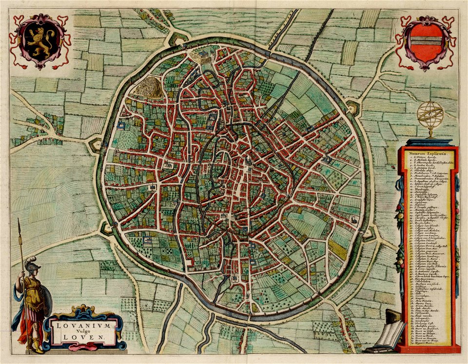
old maps of leuven
atlas van loon
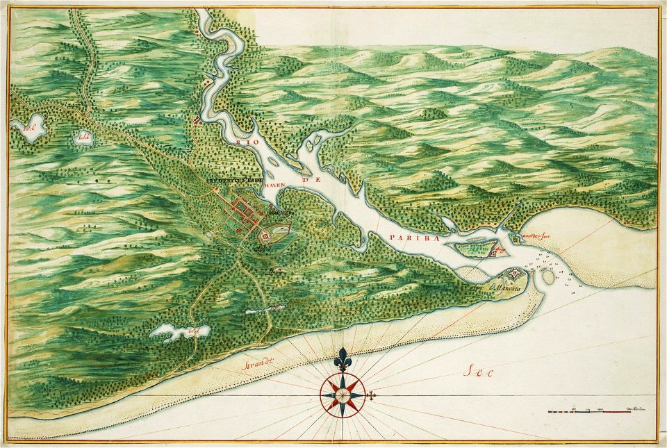
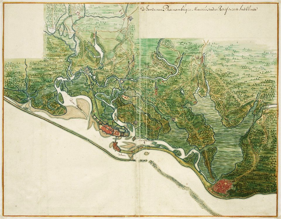
old maps of dutch brazil
johannes vingboons
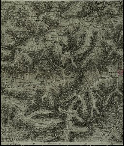
charte von schwaben (bohnenberger)
old maps of vorarlberg
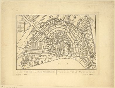
old maps of amsterdam
evert maaskamp
old maps of amsterdam
evert maaskamp
old maps of mecklenburg
atlas maior
geographical illustrations by coronelli
old maps of the peloponnese
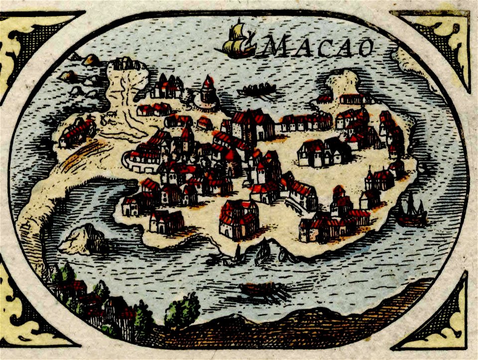
historical images of macau
old maps of macau
atlante veneto (raremaps.com) volume 1
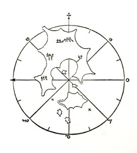
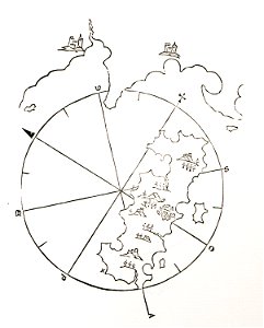
old celestial maps
atlante veneto (raremaps.com) volume 2
old maps of russia
atlante veneto (raremaps.com) volume 2
old maps of sardinia
atlante veneto (raremaps.com) volume 2
old maps of china
atlante veneto (raremaps.com) volume 2
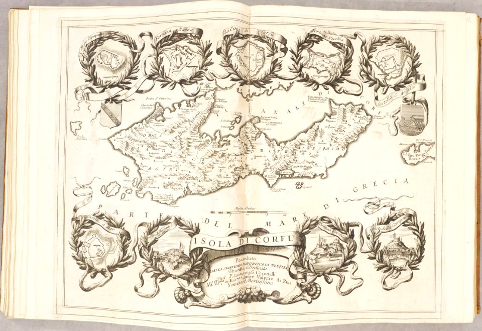
old maps of corfu
atlante veneto (raremaps.com) volume 2
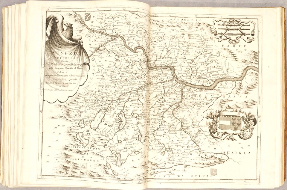
old maps of austria
atlante veneto (raremaps.com) volume 2
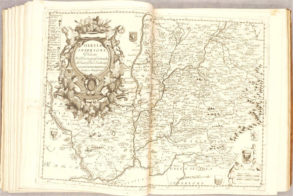
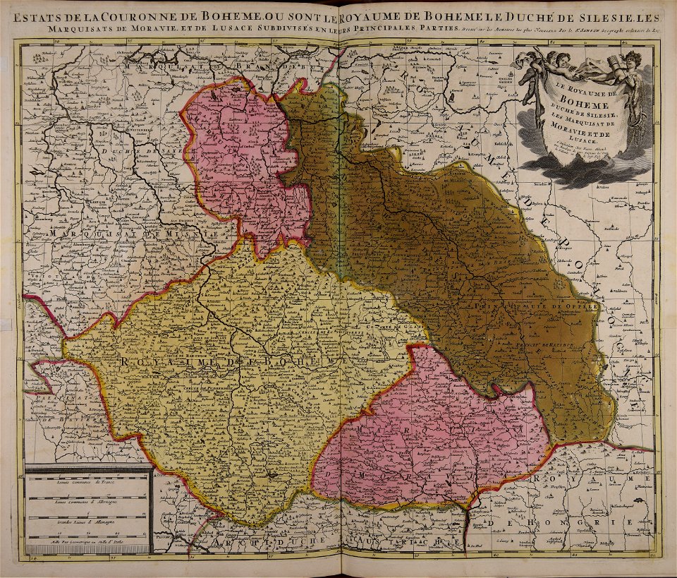
old maps of silesia
atlante veneto (raremaps.com) volume 2
old maps of scotland
atlante veneto (raremaps.com) volume 2
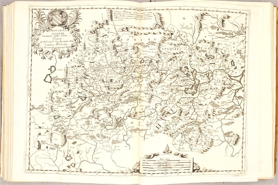
old maps of china
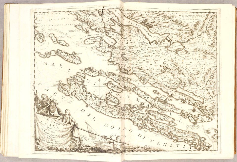
atlante veneto (raremaps.com) volume 2
old maps of croatia
geographical illustrations by coronelli
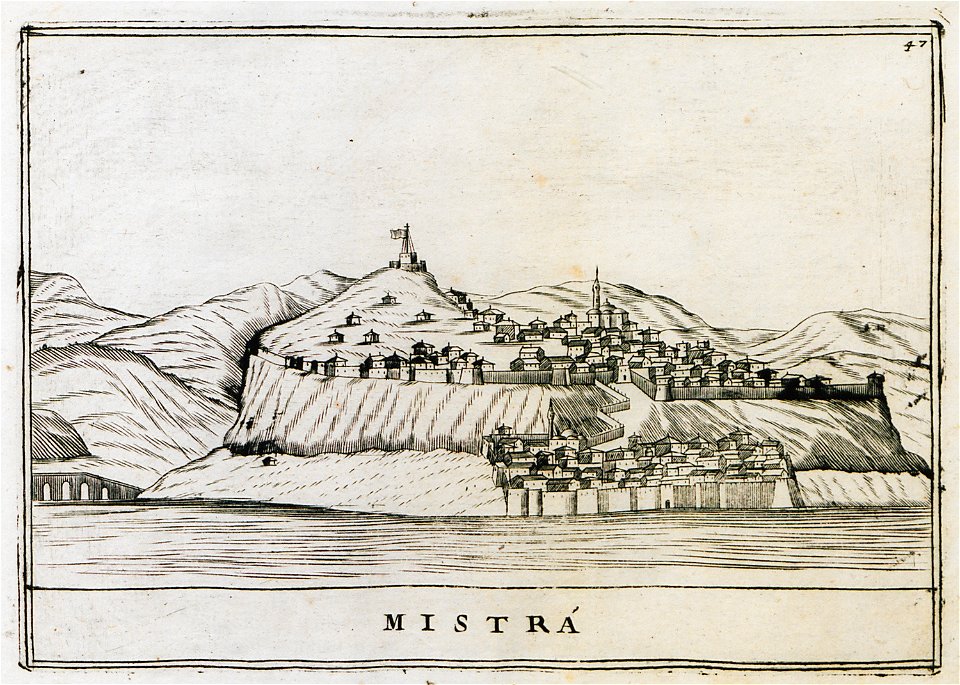
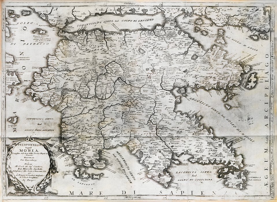
old maps of the peloponnese
geographical illustrations by coronelli
old maps of the peloponnese
geographical illustrations by coronelli
old maps of the peloponnese
paintings of połacak by dmitry strukov
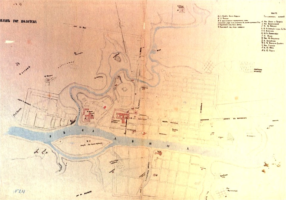
old maps of polotsk
russie by jean-marie chopin - caucasus
history of armenia
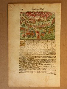
illustrations of cosmographia (münster)
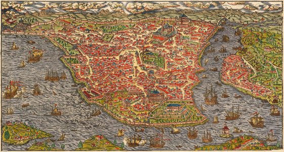
old maps of constantinople
old maps of the caspian sea
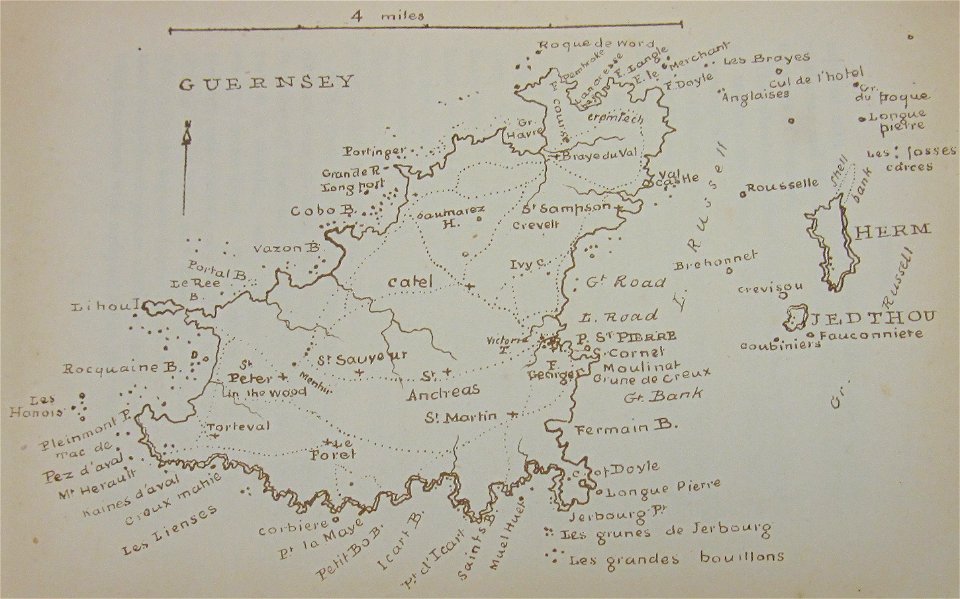
old maps of guernsey
walter cooper dendy
old maps of islands of the aegean sea
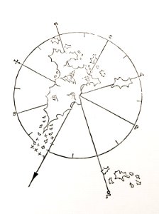
bartolommeo dalli sonetti
old maps of islands of the aegean sea
bartolommeo dalli sonetti
old maps of islands of the aegean sea
bartolommeo dalli sonetti
old maps of islands of the aegean sea
bartolommeo dalli sonetti
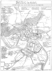
images from bristol past and present (1882)
old maps of bristol
old maps of naples
braun & hogenberg
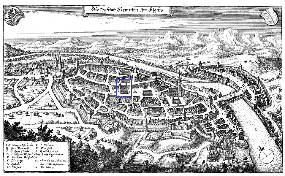
coats of arms of kempten (allgäu) (1488)
old maps of kempten (allgäu)
old maps of islands of the aegean sea
bartolommeo dalli sonetti
old maps of islands of the aegean sea
bartolommeo dalli sonetti
old maps of islands of the aegean sea
bartolommeo dalli sonetti
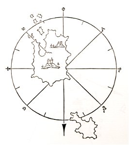
old maps of islands of the aegean sea
bartolommeo dalli sonetti
old maps of islands of the aegean sea
bartolommeo dalli sonetti
old maps of islands of the aegean sea
bartolommeo dalli sonetti
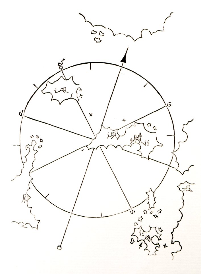
old maps of islands of the aegean sea
bartolommeo dalli sonetti
old maps of islands of the aegean sea
bartolommeo dalli sonetti
atlante veneto (raremaps.com) volume 2
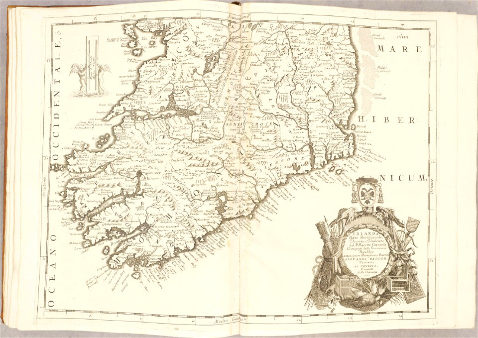
old maps of ireland
atlante veneto (raremaps.com) volume 2
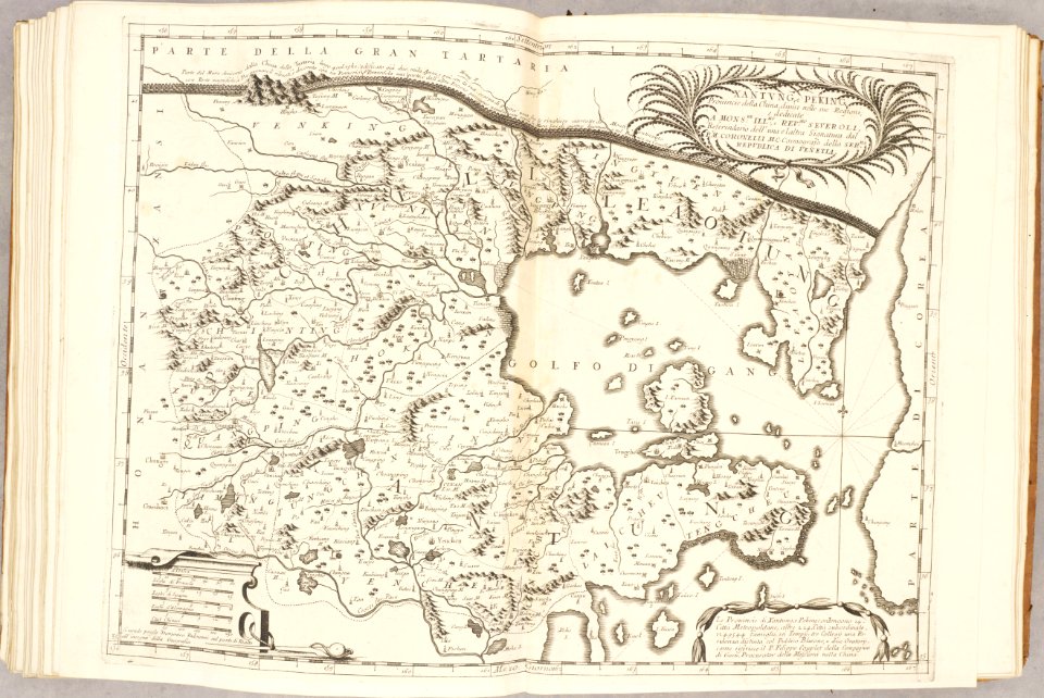
old maps of china
atlante veneto (raremaps.com) volume 2
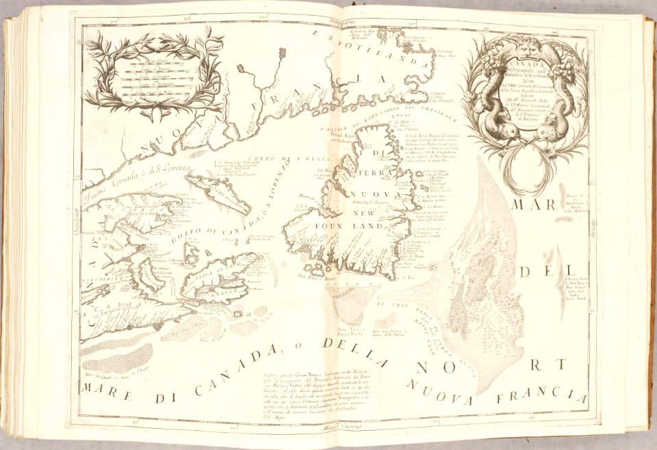
old maps of canada
old maps of dutch brazil
johannes vingboons
old maps of dutch brazil
johannes vingboons
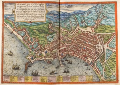
description des principales villes (1690)
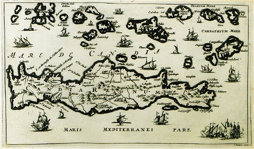
old maps of crete
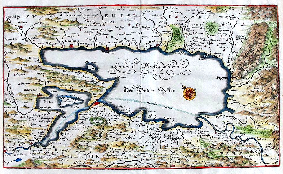
naval war on lake constance
old maps of lake constance
atlante veneto (raremaps.com) volume 2
old maps of ireland
atlante veneto (raremaps.com) volume 2
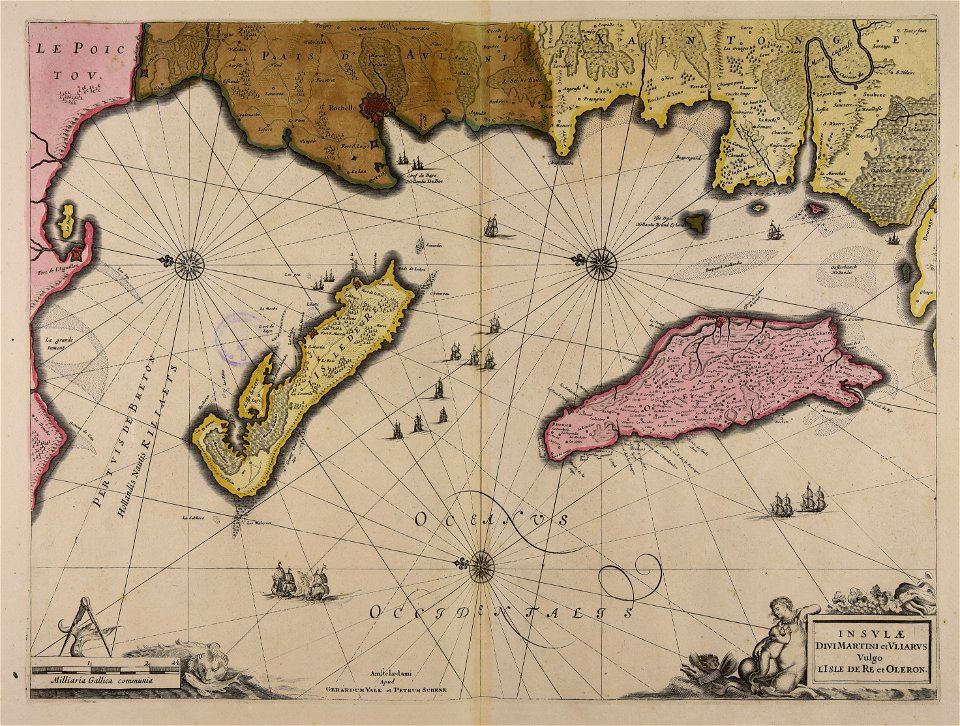
old maps of france
atlante veneto (raremaps.com) volume 2
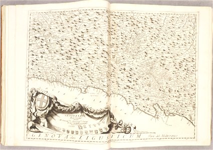
old maps of genoa
atlante veneto (raremaps.com) volume 2
old maps of corsica
atlante veneto (raremaps.com) volume 2
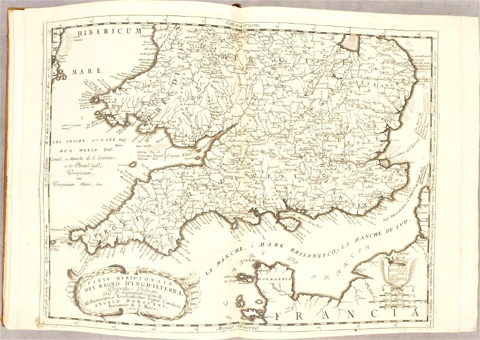
old maps of england
atlante veneto (raremaps.com) volume 2
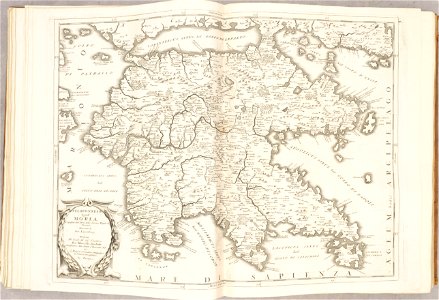
old maps of the peloponnese
atlante veneto (raremaps.com) volume 2
old maps of france
atlante veneto (raremaps.com) volume 2
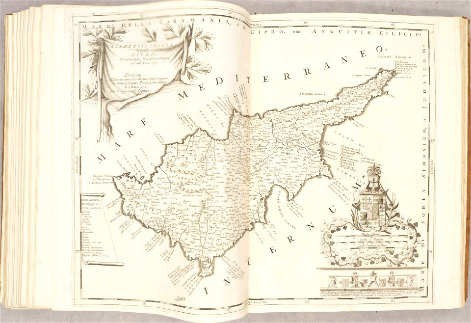
old maps of cyprus
atlante veneto (raremaps.com) volume 2
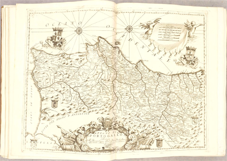
old maps of portugal
atlante veneto (raremaps.com) volume 2
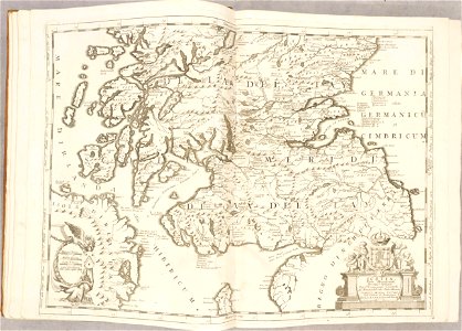
old maps of scotland
atlante veneto (raremaps.com) volume 2
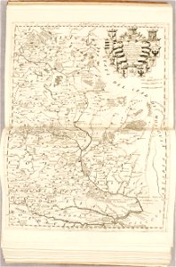
old maps of poland
atlante veneto (raremaps.com) volume 2
old maps of france
atlante veneto (raremaps.com) volume 2
old maps of china
atlante veneto (raremaps.com) volume 2
old maps of alsace
atlante veneto (raremaps.com) volume 2
old maps of china
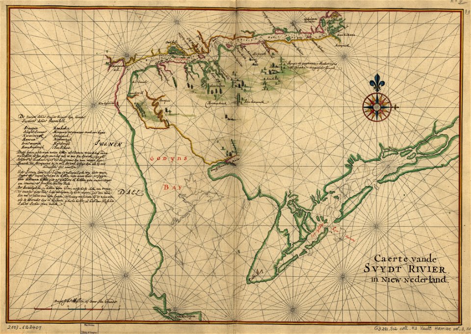
west-indische compagnie
old maps of delaware
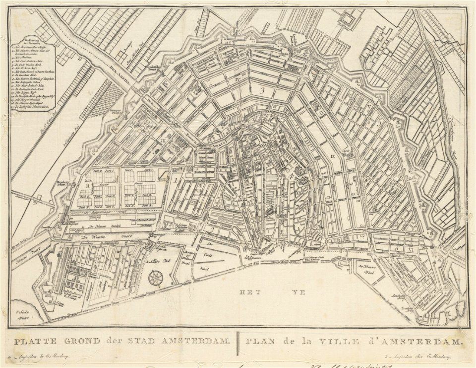
old maps of amsterdam
evert maaskamp
old maps of chartres
battles in art
charte von schwaben (bohnenberger)
old maps of vorarlberg
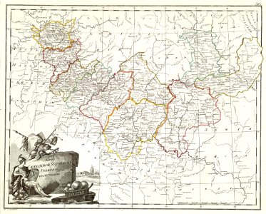
atlas of the russian empire (1800)
old maps of kharkov governorate
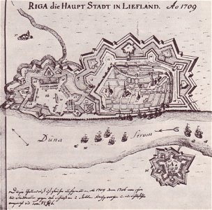
johann christoph brotze
old maps of riga
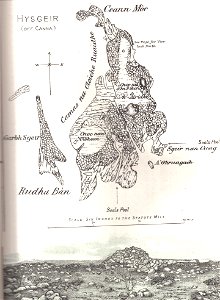
old maps of scotland
hyskeir
old maps of amsterdam
evert maaskamp
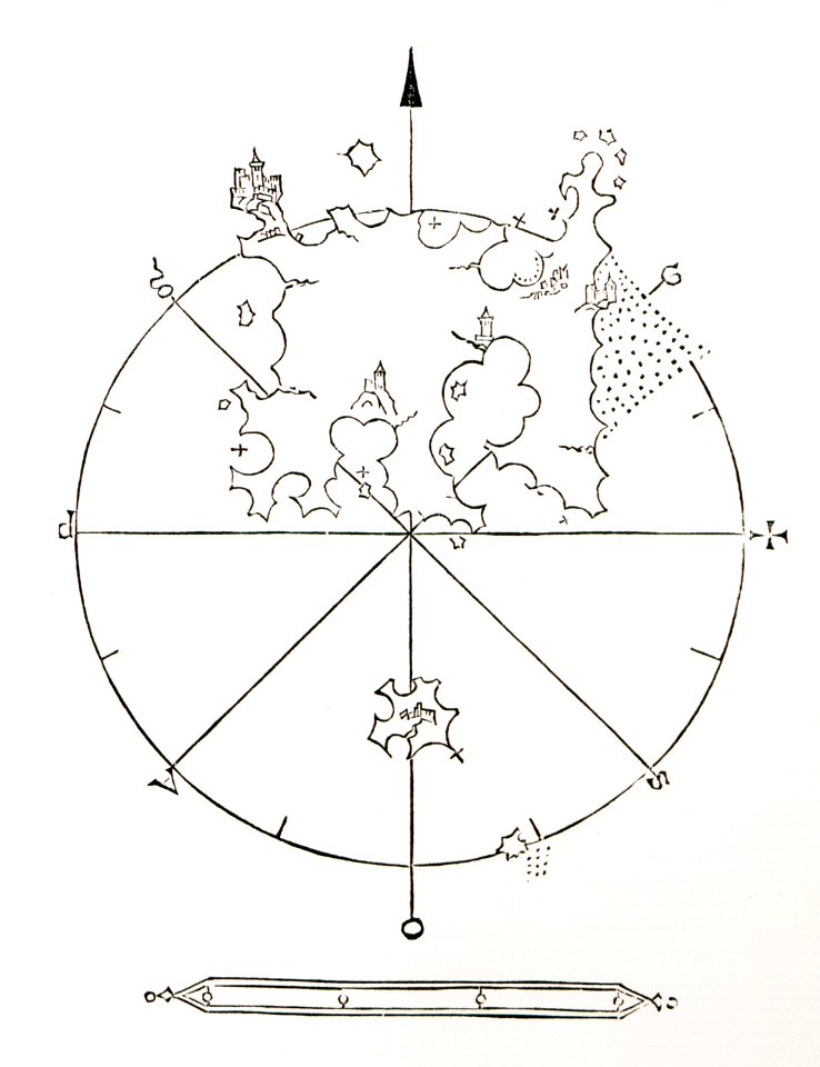
decorative map
german bible
maps made in the 17th century
gerard valck
maps made in the 17th century
maps by nicolas sanson
background
maps
adventure
pirate
18th-century maps of japan
1780 in japan
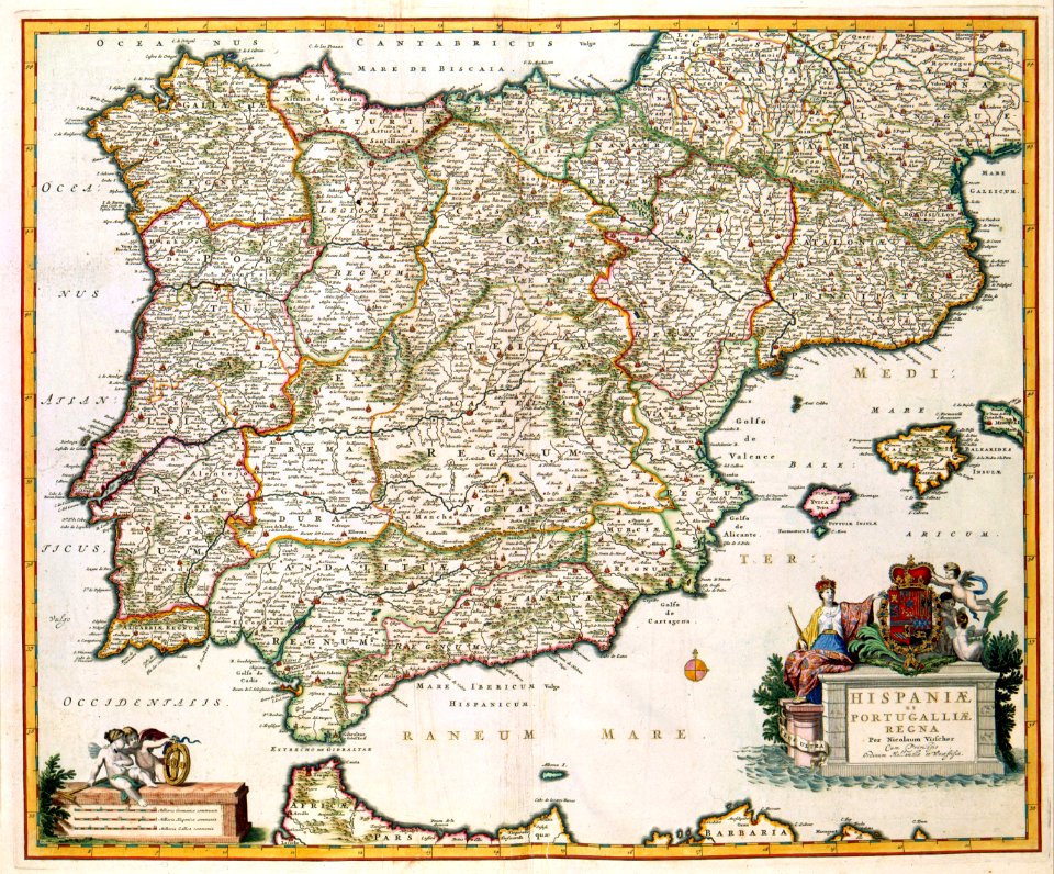
old maps of the iberian peninsula
nicolaes visscher ii
maps in the library of congress
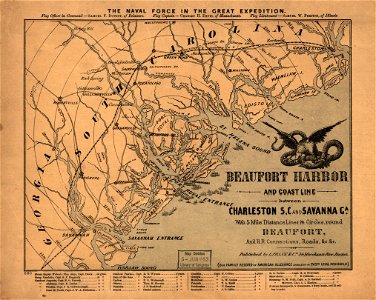
old maps of south carolina
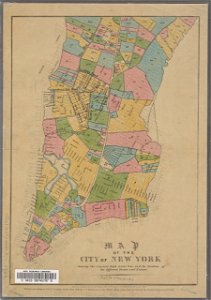
george hayward
new york city
3401 - 3500 of 11,660
Next page
/ 117